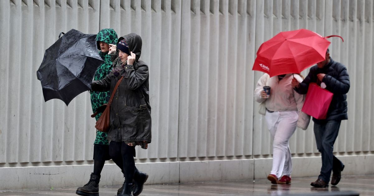
A third named storm is expected to reach the UK within 48 hours, following Storm Austen and Storm Boelo, with forecasters warning that gusts could exceed 70mph in Scotland, Northern Ireland and northern England.
According to the Birmingham Mail, the weather system is already developing over the Atlantic and is likely to be named Storm Chloe by the Met Office if it meets the threshold for a named storm. A yellow warning for wind covering Scotland, northeastern Northern Ireland and parts of northern England will come into force at 3am on Tuesday and remain in place until midnight.
Storm Boelo: the strongest of the two storms so far
Storm Boelo, which forecasters described as the more powerful of the two recent systems, has already left a trail of disruption across the Midlands. On Sunday afternoon, 77 homes in Bickenhill, Birmingham, were left without power, alongside more than 100 homes in Burford, Worcestershire, and 109 in Ryton-on-Dunsmore, Warwickshire.
The extreme weather forced the closure of Wild Zoological Park in Wolverhampton. In a post on social media, the zoo said: “We've got falling branches and a keeper has already been hit (but is ok).”
Storm Boelo also caused significant travel disruption. A Jet2 plane left the runway at Birmingham Airport and veered onto grass, while rail services were hit by falling trees. CrossCountry trains between Birmingham New Street and Nuneaton were cancelled, as were West Midlands Railway services between Four Oaks and Lichfield Trent Valley in both directions. The latter line has since reopened.
The Met Office issued six weather warnings across the UK over the weekend in connection with Storm Austen and Storm Boelo, including an amber warning for wind. The Met Office has warned that Storm Boelo brought gusts of 60 to 70mph widely, with gusts reaching 80mph in exposed coastal areas, according to the forecaster's official weather warnings.
What forecasters are saying about Storm Chloe
Cathal Nolan of Ireland's Weather Channel said the next depression is developing rapidly and could become a significant storm within two days.
“The next storm depression is already winding itself up... and it is expected to develop into another significant storm over the next 48 hours,” he said, adding that Monday's winds and heavy rain would be strong but not as intense as Storm Boelo.
“If this is to be named a storm as we go through tomorrow and into Tuesday, it's likely to be named by the UK Met Office,” Nolan said. “The very strongest of the winds will be across the northwest of Scotland. If it is to be named a storm it will of course be called Storm Chloe.”
Beyond the new system, he added, the weather is expected to settle down.
Amber warning lifted but disruption continues
The remaining warnings connected to Storm Austen and Storm Boelo are set to expire at 9pm on Monday, but a new yellow warning for wind will come into force at 3am on Tuesday, running until midnight. The Met Office has warned of “damaging gusts” and transport disruption, with winds expected to exceed 70mph in the worst-affected areas.
The UK forecaster has not yet commented on the possibility of Storm Chloe developing in the coming days.
The Mirror reports that the Met Office has issued a 21-hour “protect property” warning, with 42 areas at risk across Scotland, Northern Ireland and northern England, as the third storm of the season approaches.
Storms and the wider picture
The succession of storms so early in the season raises questions about the UK's preparedness for extreme weather, an issue that has grown more pressing as climate change intensifies the frequency and severity of such events. For communities in the Midlands and beyond, the immediate priority is the restoration of power and the safe reopening of transport links. For policymakers, the pattern of repeated named storms, coming in quick succession, is a reminder of the need for sustained investment in flood defences, resilient infrastructure and emergency response.
The last of the current weather warnings will expire at 9pm on Monday, before the new yellow warning takes effect in the early hours of Tuesday.
FAQ
What is Storm Chloe?
Storm Chloe is the name expected to be given to the third storm to hit the UK this season, following Storm Austen and Storm Boelo, if the Met Office formally names the developing weather system.
When will Storm Chloe hit the UK?
The storm is expected to develop over the next 48 hours, with a yellow wind warning in place from 3am on Tuesday until midnight, covering Scotland, northeastern Northern Ireland and parts of northern England.
How strong will the winds be?
The Met Office has warned that winds could exceed 70mph in the worst-affected areas, with the strongest gusts expected across the northwest of Scotland.
What disruption has Storm Boelo caused?
Storm Boelo brought power cuts to hundreds of homes across the Midlands, forced the closure of a zoo in Wolverhampton, disrupted rail services and led to a Jet2 plane leaving the runway at Birmingham Airport.