
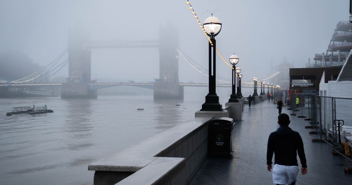
The Met Office has issued a yellow fog warning covering 28 areas of England, in force until 10am today, with forecasters warning that the densest and most disruptive conditions will coincide with the morning rush hour.
The warning stretches mainly across central England, from Surrey in the south to Lincolnshire in the north, and includes London, the South East, the East of England and the East Midlands. Visibility could fall below 100 metres in places, and in some rural parts of eastern England the fog may not clear until the afternoon.
What the Met Office warning says
The national forecaster states that fog, dense in places, will begin to thin and lift later this morning, though some eastern rural spots will stay murky until the afternoon. According to the Mirror's report, the agency identifies the morning commute as the window of maximum disruption.
“The most extensive and disruptive fog will be during the morning rush hour,” the Met Office said.
It advises travellers to expect slower journey times, delays to bus and train services, and possible flight delays or cancellations. Drivers are urged to check road conditions, leave extra time, and confirm their fog lights work before setting out. The Met Office's own guidance recommends staying up to date with the local forecast while any warning remains active.
The warning's reach has been confirmed by other outlets: Brit Brief reports that the alert spans five hours and 28 areas, while AOL notes that the forecaster expects visibility below 100 metres at times across eastern England.
Why the fog has formed
The meteorology behind the murk is straightforward. A high pressure system sits to the east of the UK over central Europe, while weather fronts push in from the Atlantic. Sandwiched between the two, calm and moist air over England has allowed dense fog to form overnight.
BBC weather forecaster Sarah Keith-Lucas described a shift in the country's weather pattern.
“We have entered a quieter spell of autumnal weather after the stormy conditions earlier in the week,” she said. “We have got some dry weather, much lighter winds and some mist and fog around as well.”
She added that the fog could be “quite dense and slow to clear across central and eastern England, perhaps east Wales”, but that by the afternoon sunny skies should return, with temperatures between 13C and 16C. The Met Office's outlook for the day is similar: fog slowly clearing, otherwise bright and mild, with breezier conditions and possible rain across northwest Scotland.
From storms to drought: a week of extremes
The fog follows an unusually turbulent spell. England has just recorded its wettest week for two years, according to the Environment Agency, after the successive storms Austen and Boelo battered the country. An average of 55mm of rain fell across England in the seven days to October 27, with 76mm in the North West and 87mm in the South West.
It was England's wettest week since October 2024. The downpours have pushed the country's October rainfall to 11 per cent above the long-term average.
River levels have responded sharply. The Dart at Austins Bridge near Buckfastleigh in Devon has been classed as “exceptionally high”. Yet the same rain has not resolved the country's water deficit: much of England remains officially in drought, with severe conditions persisting across parts of the South West and Sussex.
This juxtaposition, saturated rivers alongside parched reservoirs, illustrates the increasingly erratic pattern of British weather. Weeks of storm-driven deluge do not necessarily replenish groundwater and storage in ways that ease drought, because water arriving too fast, over too short a period, runs off rather than soaking in. The result is flooding risk and water scarcity existing side by side, a combination that puts pressure on infrastructure designed for a more predictable climate.
Which areas are affected by the fog warning?
The full list of 28 areas covered by the yellow warning is as follows:
East Midlands
- Leicester
- Leicestershire
- Lincolnshire
- Northamptonshire
- Nottinghamshire
- Rutland
East of England
- Bedford
- Cambridgeshire
- Central Bedfordshire
- Essex
- Hertfordshire
- Luton
- Norfolk
- Peterborough
- Suffolk
London and South East England
- Bracknell Forest
- Buckinghamshire
- Hampshire
- Milton Keynes
- Oxfordshire
- Reading
- Slough
- Surrey
- West Berkshire
- Windsor and Maidenhead
- Wokingham
Practical advice for the morning commute
The Met Office's recommendations are simple but worth heeding. Drivers should check that fog lights function before departure, since many are used only once or twice a year and may have failed unnoticed. Bus and train passengers should expect delays and check operators' updates. Air travellers should verify flight status before leaving home, as cancellations are possible.
The warning expires at 10am, but the forecaster cautions that fog may linger into the afternoon in some eastern rural areas. By late morning, most of the country should see brighter conditions and mild temperatures, a brief respite before the next Atlantic system approaches from the northwest.
FAQ
How long will the Met Office fog warning last?
The yellow warning runs until 10am today, though fog may persist into the afternoon in some rural parts of eastern England.
Which parts of the UK are covered by the fog warning?
Twenty-eight areas across the East Midlands, the East of England, and London and the South East are covered, from Lincolnshire in the north to Surrey in the south.
Will flights and trains be affected by the fog?
The Met Office warns of slower journey times, delays to bus and train services, and possible flight delays or cancellations during the morning rush hour.